Rain and storms made a big return on Monday. The downpours arrived in a couple of rounds and most locations had to deal with blinding...
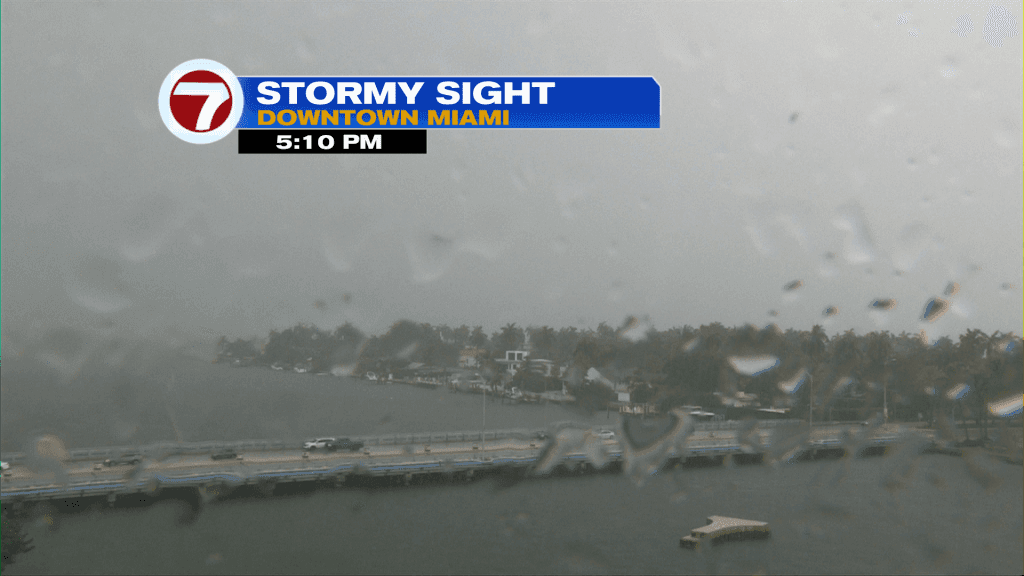
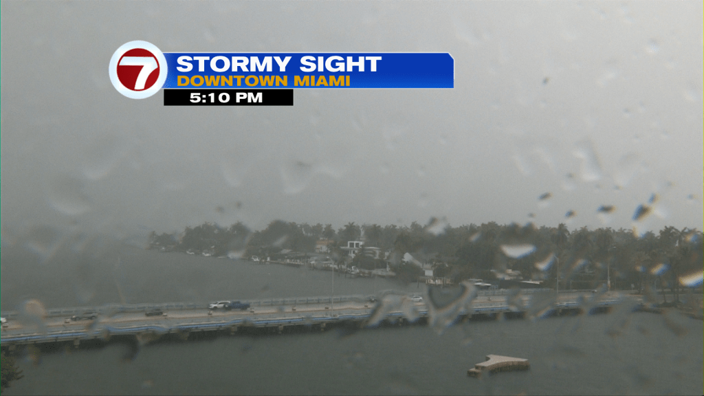
Rain and storms made a big return on Monday. The downpours arrived in a couple of rounds and most locations had to deal with blinding rainfall, at some point of the day. Shown below, the Miami city skyline was draped with low clouds and reduced visibility during late afternoon storms. Marine alerts were necessary across Biscayne Bay extending into the Atlantic Ocean.
The current pattern is dominated by High Pressure but that’s not always a calm and stable setup. With sufficient moisture, daytime heat and sea breeze boundaries it’s still a classic brew for developing storms.
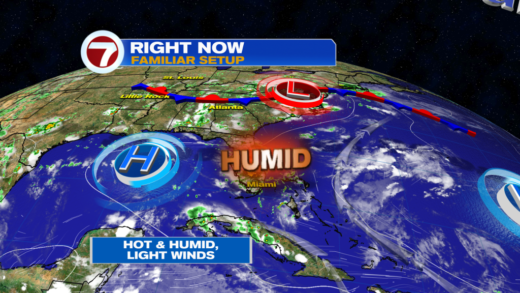
There are some gradual changes coming, highlighted by a push of Saharan Dust. Dust particles will be transported along our southeast flow. It’s arrival? Late Tuesday into Wednesday and once the Dust layer filters in, it won’t budge for awhile. So, you’ll notice a string of days (and nights) with hazy skies.
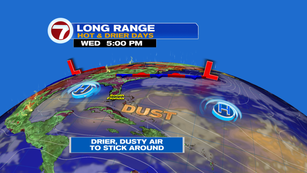
In the upcoming rain trend (forecast) you can see the switch to dramatic drying as we continue deeper into the week and weekend. It’s persistence is largely because the upcoming Dust plume is so large in size!
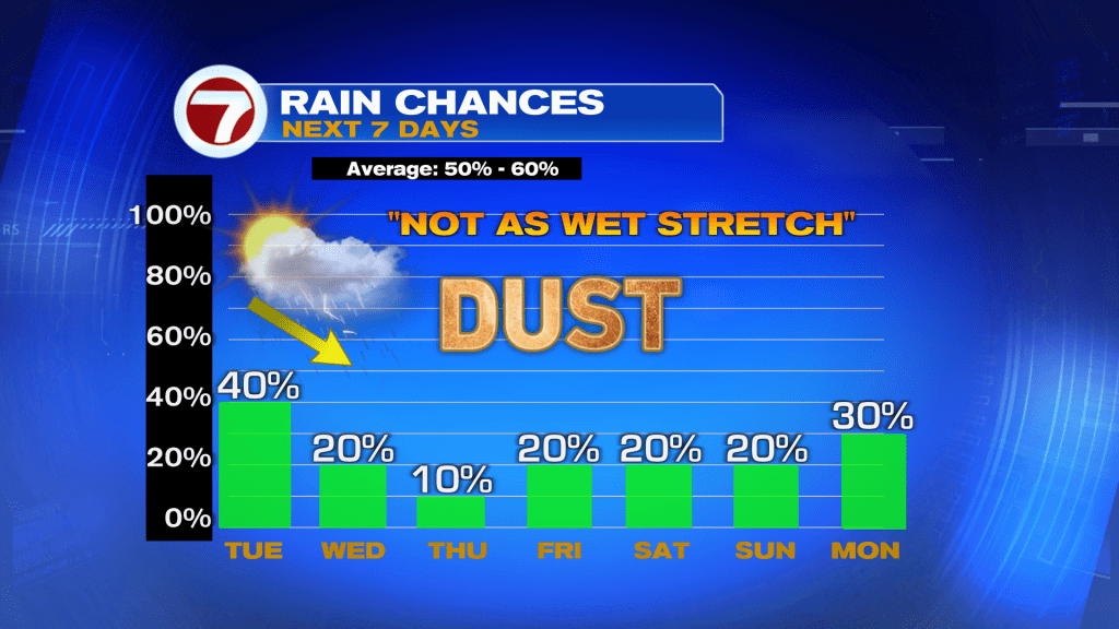
Considering our typical rain chance is between 50% and 60% in early July, this Drying Trend is quite remarkable. Remember, while the presence of dust limits showers, in general, it doesn’t entirely take rain out of possibility. Still, any activity should be limited at best.
Tags
VIP Journal Media