A fast-moving storm will bring snow, ice, and flooding risks across the Northeast Tuesday before temperatures soar well above average.
Residents across the Northeast are bracing for a chaotic “battle of the seasons” this week as a fast-moving winter storm collides with an advancing wall of spring-like warmth. The transition, while offering relief from the cold, brings a dangerous cocktail of wintry precipitation and a heightened risk of localized flooding due to breaking river ice.
Wintry Mix Hammers the Tuesday Commute
The immediate concern centers on a complex storm system tracking from the Midwest into the Mid-Atlantic and New England on Tuesday. This system is spreading a stripe of snow and freezing rain across a massive corridor. In places like Harrisburg and Scranton, Pennsylvania, an icy glaze is expected to coat untreated surfaces during the morning hours, creating treacherous conditions for the commute.
Farther north, the air remains colder for longer. Upstate New York and central New England, including cities like Albany and the northern suburbs of Boston, are forecast to see 1–2 inches of slushy snow and sleet. As the storm pushes toward the coast, many areas will see a messy changeover to rain, but the damage to travel operations may already be done.
Ice Jam and Localized Flood Risks
As warmer air surges northward behind the storm, the primary hazard shifts from frozen precipitation to liquid runoff. This rapid warmup is particularly concerning for regional waterways that have spent much of the winter locked in ice.
According to AccuWeather Senior Meteorologist Alex Sosnowski, the transition to rain will allow river and stream ice to break up, potentially causing significant blockages.
“Where the ice jams up, there is a risk of rapid rises in water levels above the jams and then below where the jams break,” Sosnowski warned. “Some unprotected areas along flood-prone streams and rivers could be at risk.”
Harrisburg and other Susquehanna Valley communities are among those on high alert as the ice begins to move. Local officials recommend that residents in flood-prone areas monitor water levels closely, as ice jam flooding can occur with very little warning compared to typical rainfall-driven events.
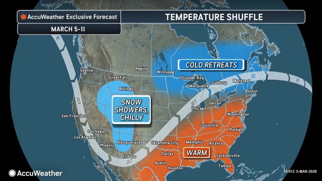
A Record-Breaking Pattern Shift
By Thursday, the weather map will look vastly different. A dramatic northward bulge in the jet stream is set to usher in a surge of spring-like warmth that will feel more like May than early March.
In Washington, D.C., and Philadelphia, afternoon highs are forecast to reach 10 to 20 degrees above the historical average. While this warmup will be delayed by about 24 hours in Boston and New York City, the entire region is expected to bask in the pre-spring glow by the weekend.
However, this warmth comes with a trade-off. While it reduces typical winter hazards like black ice and snow removal costs, the shift opens the door for a more active, moist storm track. An ongoing weather pattern emerging from the Plains and moving toward the Great Lakes may send additional rounds of rain into the Northeast by early next week. This renewed moisture, falling on saturated ground or contributing to further snowmelt, could extend the disruption risks for transportation and field operations.
The National Context: 2026 Severe Weather Profile
The volatility in the Northeast is part of a broader, high-impact spring season across the United States. In the AccuWeather 2026 US Severe Weather Forecast, experts highlight that while the total number of tornadoes may be lower than the record-breaking 2025 season, the risk of “flooding downpours” and damaging straight-line winds is expected to be much higher.
This national trend is already manifesting in the Central U.S., where multiple rounds of severe thunderstorms and heavy rain are forecast through the weekend. As that moisture-rich air eventually works its way east, the Northeast’s brief flirtation with spring warmth may quickly turn into a soggy, high-runoff scenario.
Source: AccuWeather
The post by SouthFloridaReporter.com appears on South Florida Reporter.
VIP Journal Media


