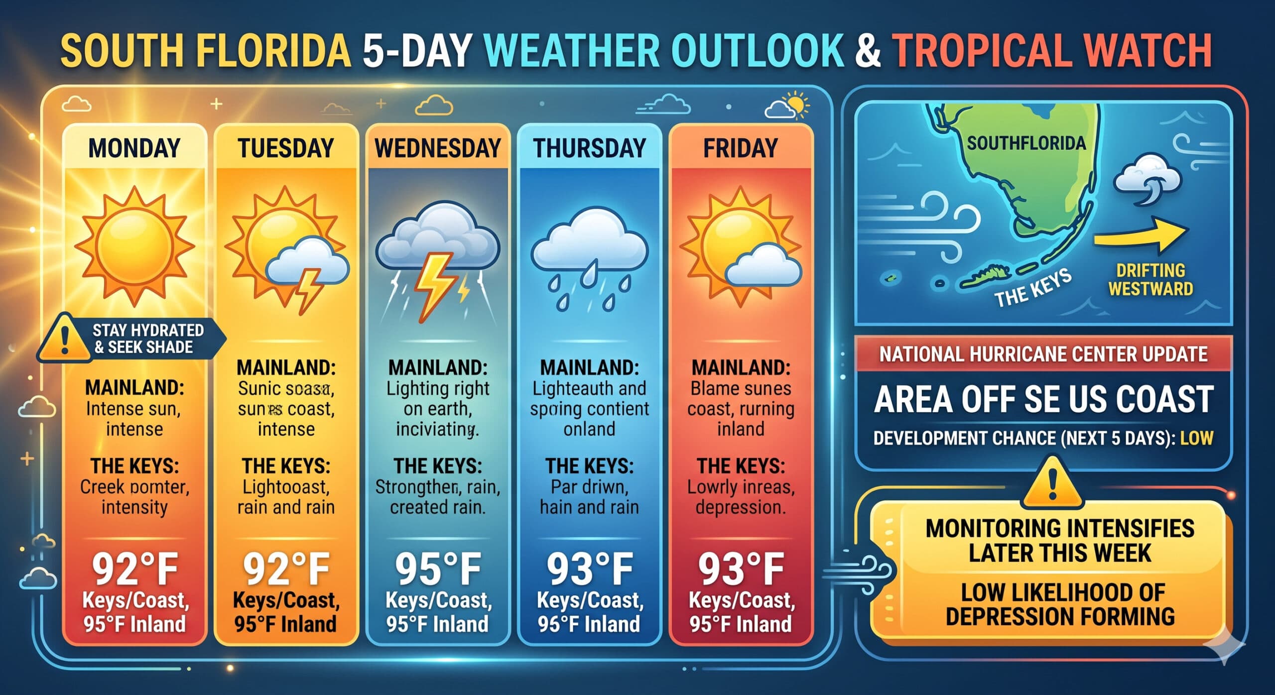
South Florida faces intense mid-90s heat before afternoon storms arrive, while a distant Atlantic low carries a low development chance.
Monday features lots of hot sun on the mainland. The Keys will be sunny with just the chance of a shower or storm. Monday’s highs will be in the low 90s right at the Atlantic coast and in the Keys, while the rest of South Florida will reach the mid 90s. But it will feel even hotter, so stay hydrated and out of the sun.
Tuesday will bring sunny skies in the morning and some afternoon storms to the mainland. Look for lots of sun and maybe a storm in spots in the Keys. Tuesday’s highs will be mostly in the mid-90s in the East Coast metro area and in the low-90s along the Gulf Coast and in the Keys.
Wednesday will feature hot sun and afternoon storms on the mainland. The Keys will be sunny and hot. Wednesday’s highs will be in the low 90s.
Thursday will be another hot and sunny day on the mainland, with mid- to late-afternoon showers and storms. The Keys will see lots of sun. Thursday’s highs will be in the low 90s on the mainland and near 90 degrees in the Keys.
Friday’s forecast calls for a mix of sun, clouds, showers, and storms on the mainland, while the Keys will be mostly sunny with a stray shower or storm in spots. Highs on Friday will be in the low 90s on the mainland and near 90 degrees in the Keys.
We continue to watch the area off the southeast US coast, where a low is forecast to form later this week. The National Hurricane Center gives this feature a low chance of developing into a depression as it drifts westward over the next several days.
The post by Donna Thomas, Meteorologist appears on South Florida Reporter.
Теги
VIP Journal Media